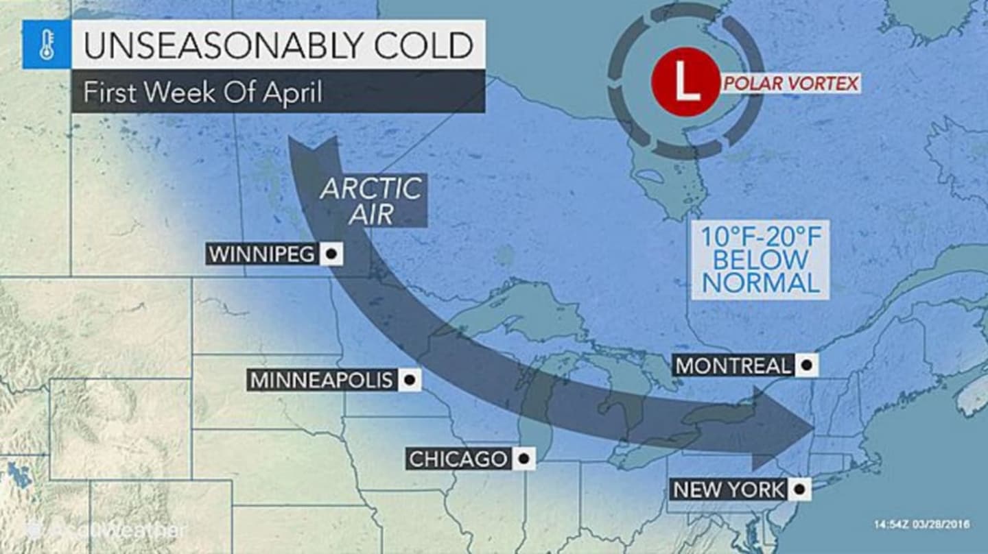
"The latest indications are the core of the coldest air associated with the polar vortex will track a bit farther north and east, compared to the outlook from last week," according to AccuWeather Long-Range Meteorologist Edward Vallee.
The potential for shocking cold and a hard, damaging freeze will exist from the Upper Midwest to the interior Northeast, AccuWeather said.
Highs may be in the 20s and 30s during multiple days for much of New York.
The cold snap is set to start on Sunday, April 3 with windy conditions and a high temperature in the mid to upper 30s in the area.
Overnight lows will be in the lows 20s with the high temperature on Monday, April 4 only reaching the mid 40s.
There is a chance of some snow on Tuesday, April 5 with morning lows in the upper 20s. Any snow will turn to rain as temperatures climb into the 40s during the day.
Check back to Daily Voice for updates.
Click here to follow Daily Voice Armonk and receive free news updates.