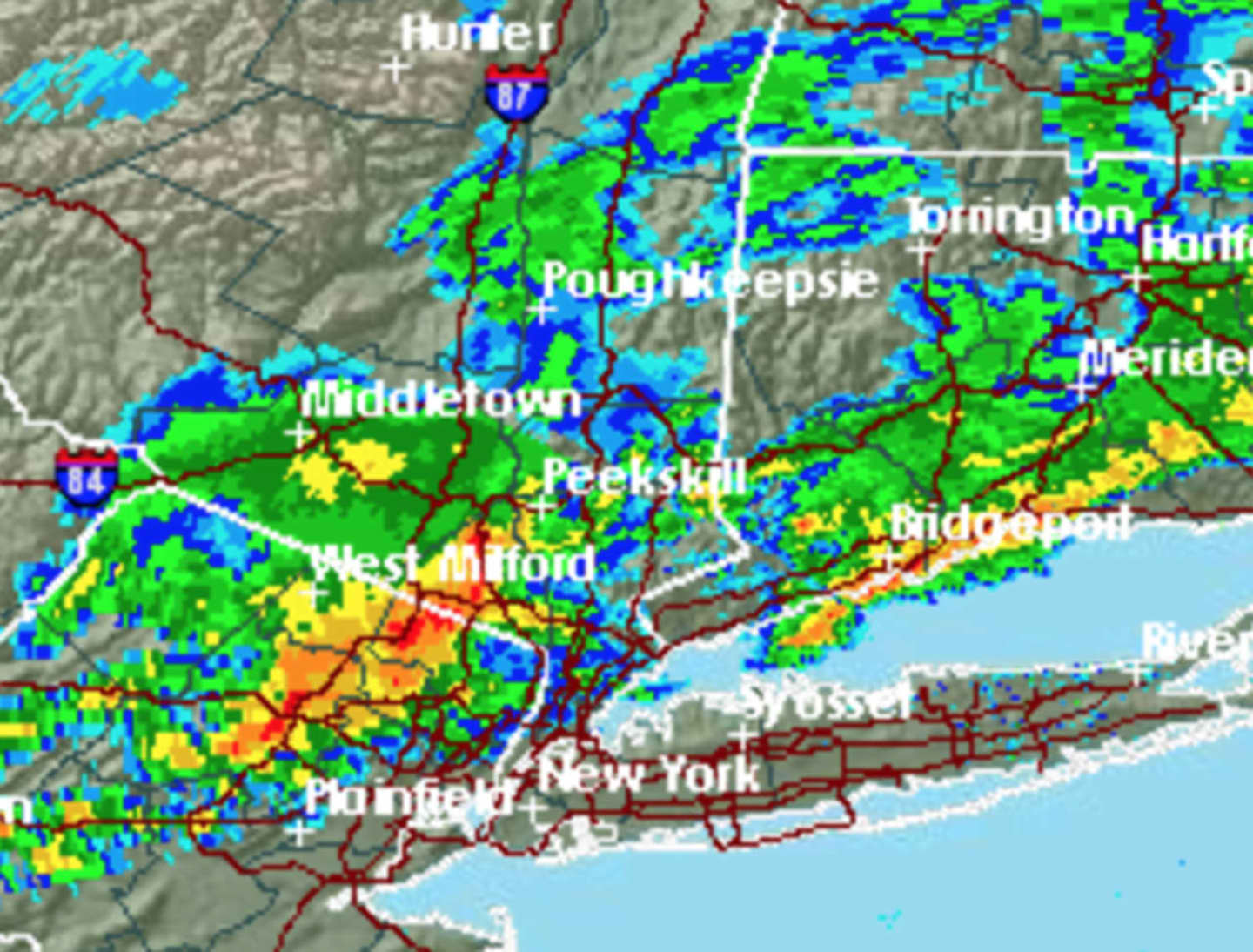
The line is expected to have the strongest impact on area south of I-287, especially Southern Westchester, according to the National Weather Service.
Radar indicated the strongest storms were located on the Bergen/Rockland county border at 4 p.m. with the storms moving east at 50 miles per hour, the National Weather Service said.
Brief torrential rainfall is occurring with the storms with winds in excess of 30 miles per hour possible.
The storm chance is expected to continue through around 8 p.m. Sunday, followed by a chance of showers and then cloudy skies overnight, with the temperature falling to the upper 30s farther north.
Monday will be mostly sunny and cooler with a high around 52.
Click here to follow Daily Voice Armonk and receive free news updates.