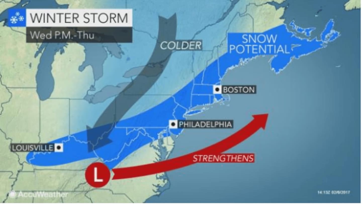
That storm system could result in plowable snow and accumulation of 6 inches or more, the National Weather Service said.
Uncertainty with the storm is high as the dynamic that will cause the storm to develop along the East Coast is still over the Pacific Ocean.
If the storm does develop, it should be a quick-moving system and out to sea by Thursday afternoon.
The storm system overnight into Tuesday should arrive in the predawn hours. Areas south of Interstate 287 should see all rain from the storm.
Farther north, a mix of snow and sleet is expected overnight into Tuesday followed by freezing rain that could last through the morning before ending around noon.
Check back to Daily Voice for updates on both storm systems.
Click here to follow Daily Voice Armonk and receive free news updates.