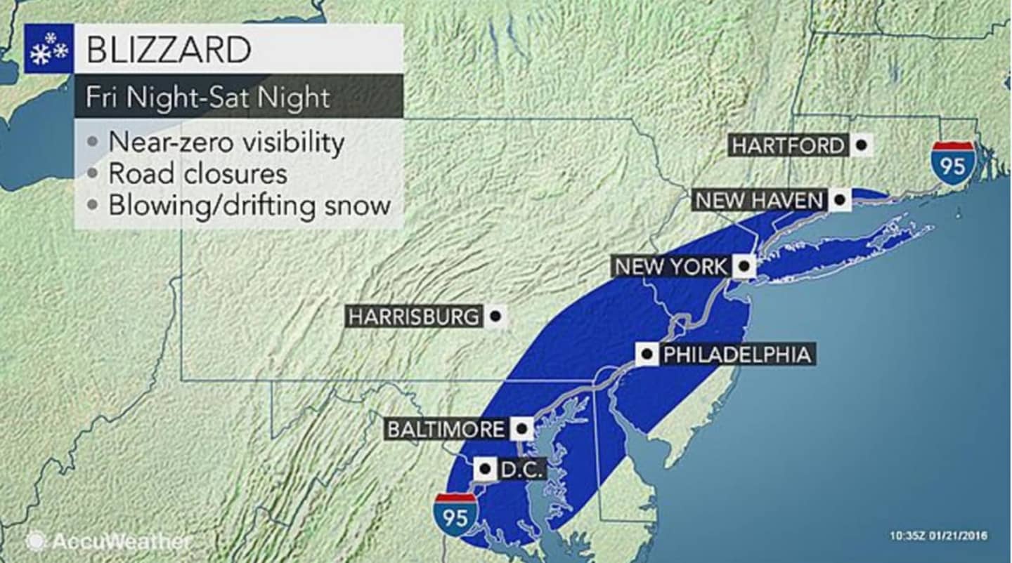

Meteorologists are saying the storm is unique in that it could bring more than a foot of snow to such a vast area. Blizzard conditions could be seen from Virginia all the way up to Southern New England, AccuWeather.com said.
Though the exact path of the storm has yet to be determined, snow totals in the Hudson Valley could vary greatly, with anywhere between 3 and 8 inches of snow possible in areas south of Interstate 84.
A Winter Storm Watch is in effect from 6 a.m. Saturday until 1 p.m. Sunday for Westchester, Putnam and Rockland counties. A Winter Storm Warning is in effect for that same period in Southern Westchester. There is no watch or warning in effect for Dutchess.
Another primary concern with the storm is costal flooding as the powerful storm will push water from the Atlantic in toward the coast, accuweather.com said.
Power outages are also likely, with wind gusts of up to 60 miles per hour expected. In addition, there will be a full moon on Saturday, with the high tide contributing to possible coastal flooding.
Click here to read the AccuWeather.com article.
Click here to follow Daily Voice Armonk and receive free news updates.