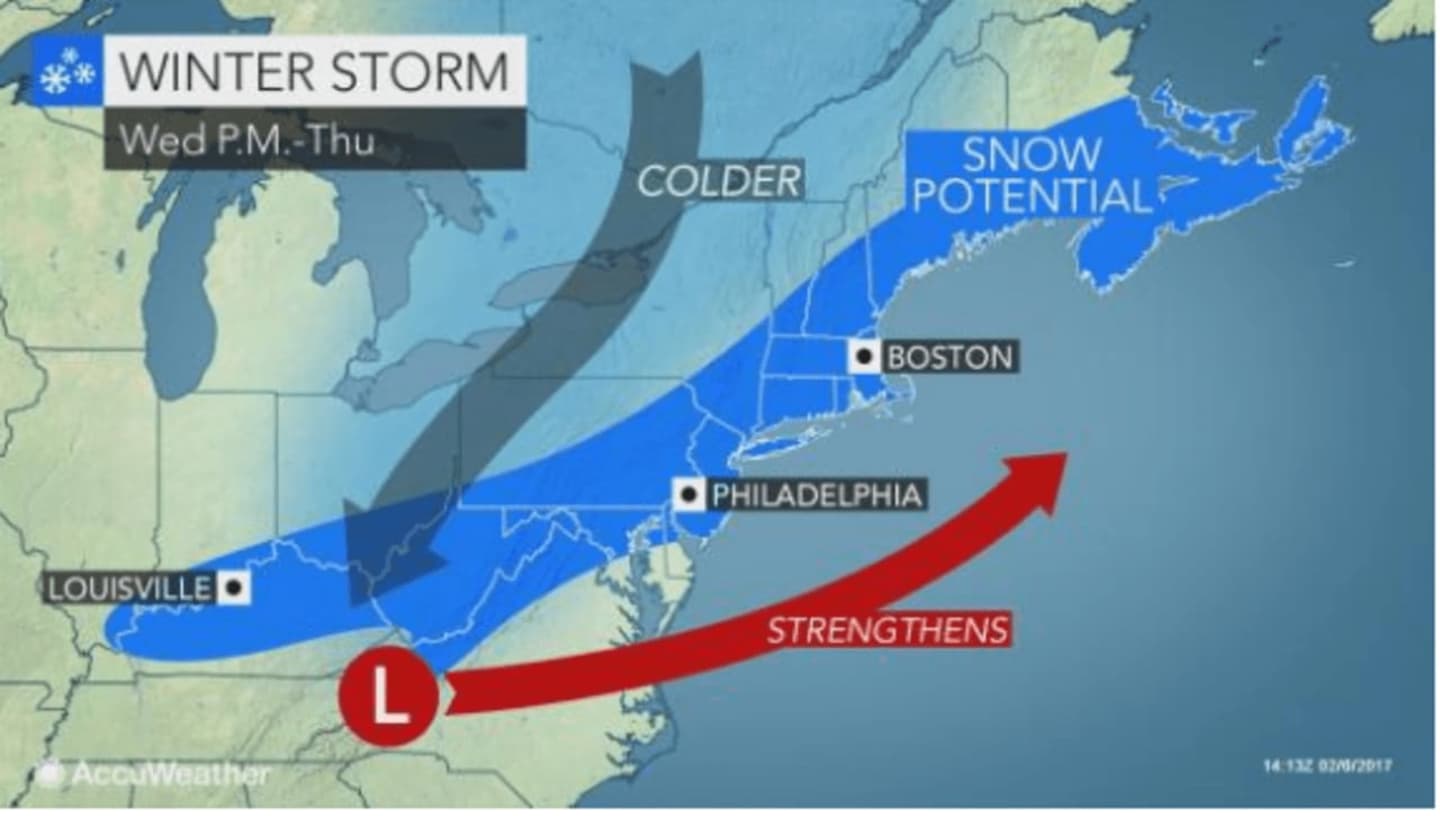
Rain and warmer temps on Wednesday will be followed by a big-time blast of winter weather with up to 10 inches of snow expected on Thursday as another storm pushes in amid plummeting temperatures, according to the National Weather Service.
Wednesday will be marked by showers and rain during the day with unseasonably high temperatures in the mid-50s. By evening, as the second front approaches, the rain will turn into snow sometime after 10 p.m. Accumulation of 1 to 3 inches is possible overnight.
Thursday calls for up to 3 to 5 inches of snow with temperatures dipping into the mid-20s by 5 p.m. The snow is expected to continue through the early evening with temperatures continuing their drop to the mid-teens, officials said.
Officials are warning residents that along with the accumulating snow, there is a potential for slippery, backed-up roads and airline delays as the storm progresses.
It's too early to predict precise snowfall amounts, but the current forecast by AccuWeather.com is calling for between 5 and 10 inches of accumulation in the Hudson Valley.
Luckily, the storm moves out of the area quickly, with sunshine, but cold temperatures returning to the area on Friday with a high only around 30.
A mix of snow and rain is likely both Saturday and Sunday.
Check back to Daily Voice for updates.
Click here to follow Daily Voice Armonk and receive free news updates.