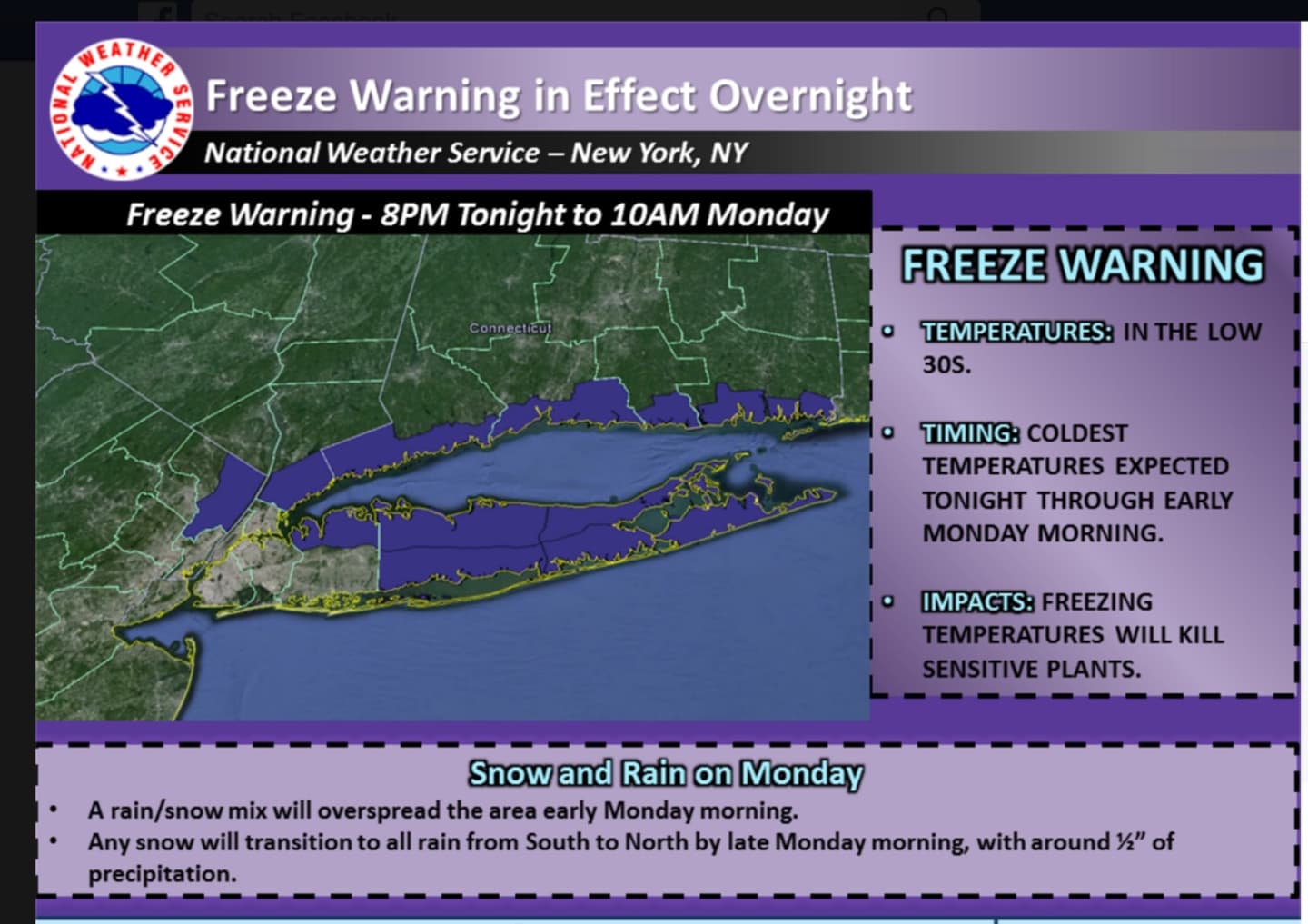

A freeze warning is in effect from 8 p.m. Sunday until 10 a.m. Monday. The freezing temps will kill sensitive plants if not protected and brought indoors, the National Weather Service warns.
Overnight lows will be around 30 with a chance of snow after 2 a.m. Monday.
An inch of accumulation is possible in central and southern Westchester and Rockland.
Most of the area will see a mix of snow and freezing rain before 8 a.m., followed by rain after 8 a.m.
The changeover to rain may not come until later in the morning -- around 11 a.m. -- in Putnam and parts of Northern Westchester, where 2 inches of accumulation is possible in areas north of I-287.
Monday's high temperature will reach the mid 40s.
Rain is likely Monday night, possibly mixed with snow before 8 p.m, followed by a chance of snow. Little or no snow accumulation is expected.
Click here to follow Daily Voice Armonk and receive free news updates.