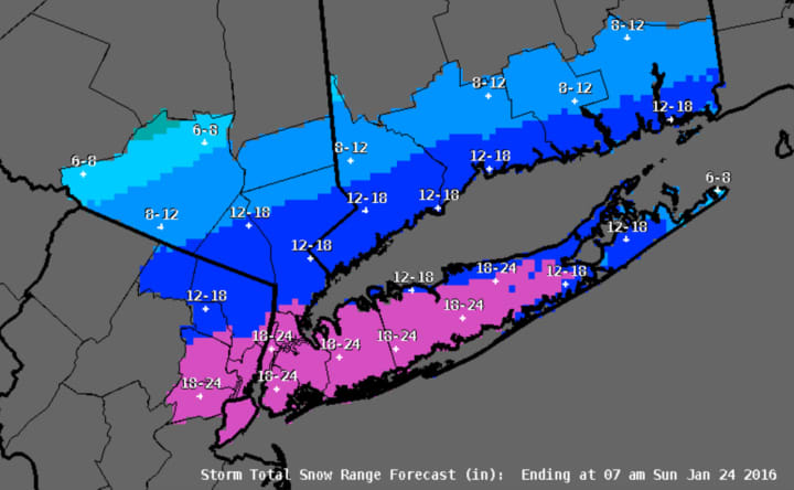

In addition, the storm is tracking farther north than originally anticipated, with projected snowfall totals doubling for some parts of the area.
Gov. Andrew Cuomo has declared a State of Emergency that includes New York City, Long Island, Westchester, Putnam and Rockland counties.
All of Westchester, Putnam, Rockland and Dutchess are now under a Winter Storm Warning. Dutchess County had been under a Winter Storm Advisory before it was upgraded to warning status late Saturday morning.
The warning, originally scheduled to take effect at 6 a.m. Saturday, has been pushed up to 4 a.m. It was originally scheduled to expire at 1 p.m. Sunday. But is now is scheduled to end at 7 a.m. Sunday.
Southern-most Westchester and New York City are now expected to see as much 18-24 inches of snow with anywhere from 12-18 inches of snow forecast for most Westchester and Rockland. Northern Westchester, Putnam. and Northern Rockland are now projected to get 8-12 inches.
Totals for Dutchess County, which had originally been projected as between 1 to 3 inches, could be as high as 5 to 6 inches in some parts of the county.
A Blizzard Warning which had been issued for New York City now includes Southern Westchester and is in effect until 4 a.m. Sunday.
Strong gusts of between 50 and 60 miles per hour are expected along coastal areas with power outages possible.
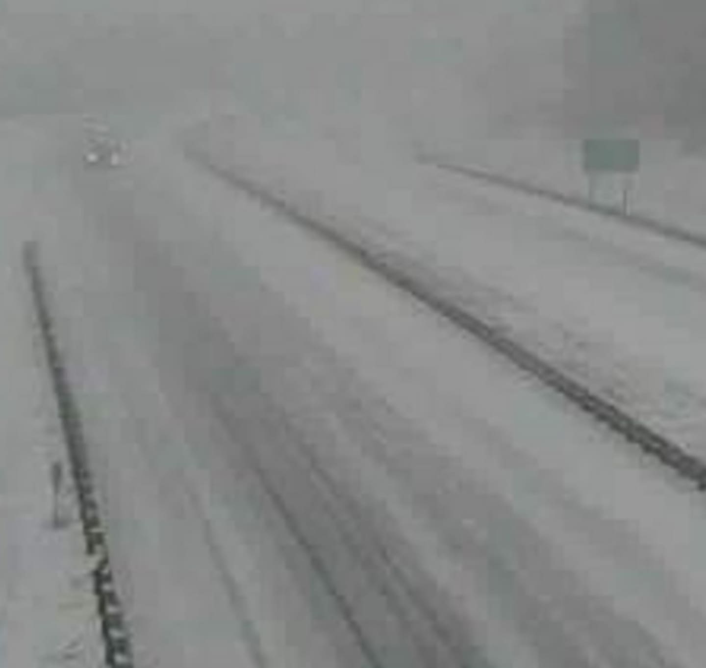
Motorists are being urged to stay off area roadways. Nearly all flights have been canceled. Nearly all SAT tests scheduled throughout the area have been canceled with most rescheduled for Feb. 20.
Snow, which started around dawn in parts of the area, should wind down in the late evening hours Saturday in most of the area with snow showers winding down overnight.
Saturday's high temperature will be in the mid 20s with the wind-chill factor making it feel like the mid teens most of the day.
Gusty winds are expected to continue through Sunday, which will be a mostly sunny day with highs in the mid 30s.
Check back to Daily Voice for updates.
Click here to follow Daily Voice Armonk and receive free news updates.